 |
|
||||||||||||||||||||
|
|
|||||||||||||||||||||
|
|
||||||||||||||||||||
 Nobel Peace Prize in 2007
 Champions of Earth
 Paribesh Padak
 Climate Change And Development Link |  Dhaka City - State Of Environment (SOE) 2005 |  Facing Up To Climate Change In South Asia |  Promoting Eco-Friendly Agricultural Practices in the Chanda Beel/Area |  Adverse Impacts of Climate Change on Development of Bangladesh Integrating Adaptation Into Policies and Activities |  Adverse Impacts of Climate Change on Development of Bhutan Integrating Adaptation Into Policies and Activities |  Adverse Impacts of Climate Change on Development of Nepal Integrating Adaptation Into Policies and Activities |  Climate Change and The Kyoto Protocol's Clean Development Mechanism Stories From The Developing World |  South-North Dialogue On Equity In The Greenhouse A Proposal For An Adequate And Equitable Global Climate Agreement |  Adaptation Day at Cop 9 |  Global Environmental Outlook 3 |  Mainstreaming Adaptation To Climate Change In Least Developed Countries (LDCS) |  Groundwater Resources and Development in Bangladesh Background to the Arsenic Crisis, Agricultural Potential and the Environment |  The End of Development? Global Warming, Disasters and The Great Reversal of Human Progress | 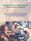 Natural Resource Management-Towards Better Integration | 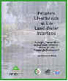 Peopleâs Livelihoods at the Land-Water Interface Emerging Perspectives on Interactions between People and Floodplain Environment | 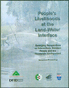 Peopleâs Livelihoods at the Land-Water Interface Emerging Perspectives on Interactions between People and Floodplain Environment | 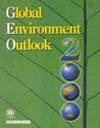 Global Environment Outlook 2000 | 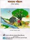 Amader Poribesh Our Environment (Training Manual) | 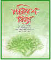 Paribesh Biddya | 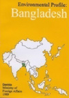 Environment Profile: Bangladesh | 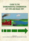 Guide to the Environmental Conservation Act 1995 and Rules 1997 |  From Flood to Scarcity: Re-Defining The Water Debate In Bangladesh (Working Papers, Environment and Development Series No. 1) |  Drinking Water, Bathing and Sanitation The Risk to Human Health in Rural Bangladesh (School of the Environment, Environment and Development series No. 2, Working Papers) |  Asia Least-Cost Greenhouse Gas Abatement Strategy (ALGAS)- Bangladesh |  Vulnerability and Adaptation to Climate Change for Bangladesh | 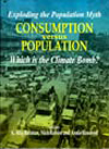 Exploding the Population Myth: Consumption Versus Population - which is the Climate Bomb? | 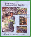 Wetland Resource Management in Chanda BeeL | 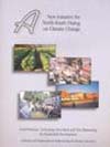 A New Initiative For North-South Dialogue On Climate Change Good Practices, Technology Innovation And New Partnership For Sustainable Development Challenges and Opportunities in Implementing the Climate | 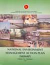 National Environment Management Action Plan (NEMAP) (4 vol) |
|
|
|
|||||||||||
|
||||||||||||